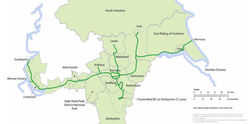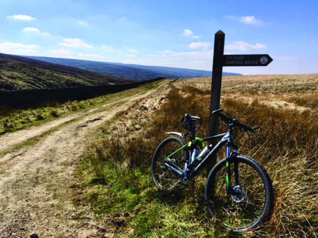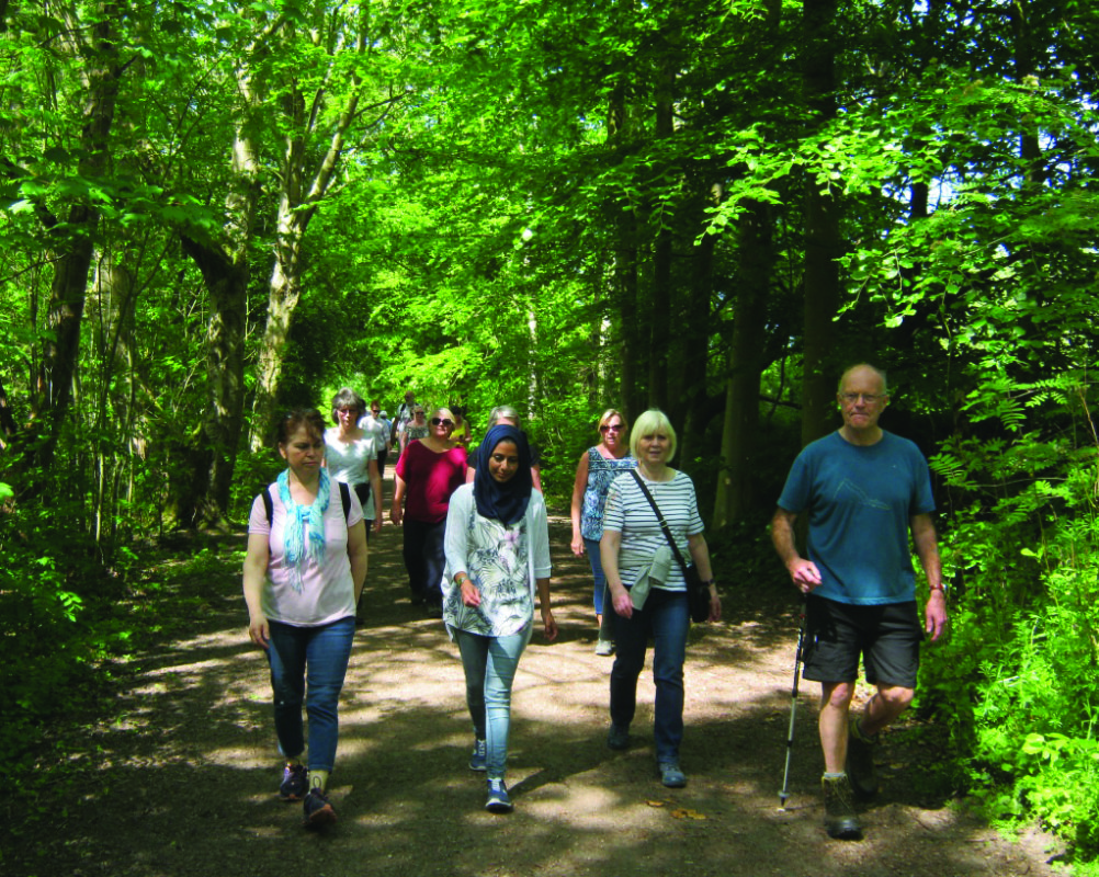
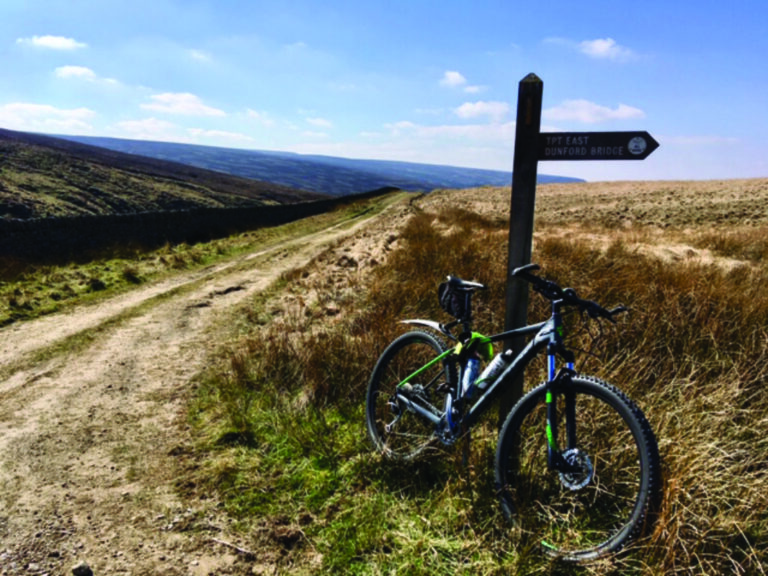
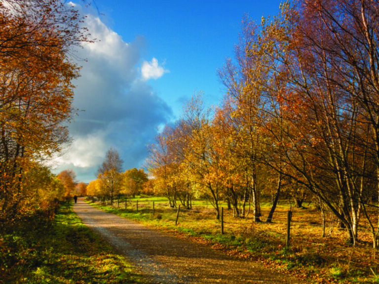
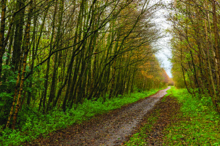
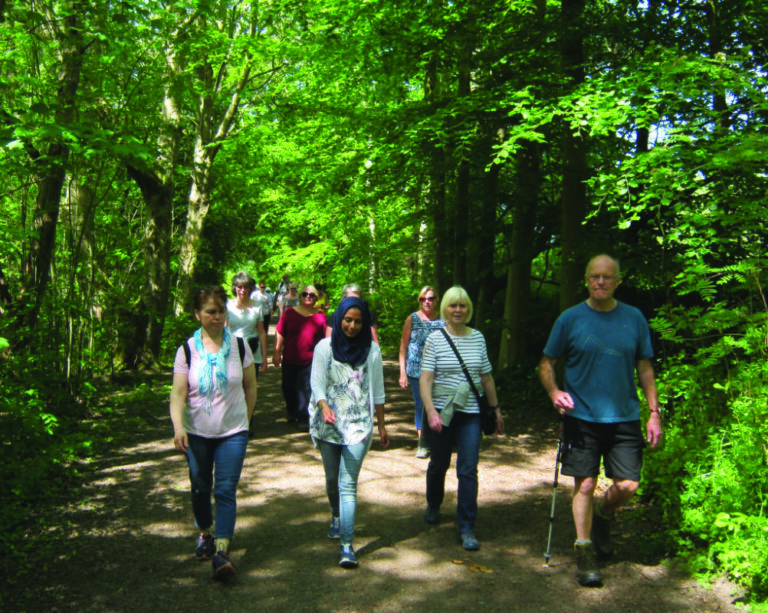
The Trans Pennine Trail… What is it? The Trans Pennine Trail (or TPT as it’s more casually called) was the UK’s first multi-user route. It’s an exciting route for walkers, cyclists and in many parts horse riders. Linking the North and Irish Sea, the route passes thorough the Pennines, along old railways, canals, riversides and cross country tracks, most of which are flat or on easy gradients –a great way to cross the Pennines under your own steam. Many folk also use the Trail as their commitment to climate change by using this sustainable transport route to get to work, school, shops or simply just for pleasure.
The vision of the Trail was born in the late 1980’s following the demise of many railways which created a unique opportunity to look at linking the routes to provide the UK’s first multi-user sustainable transport route. Today this wonderful multi user route provides over 370 miles of route through a partnership of 27 Local Authorities.
The route is free for everyone to use and connects with many local railway stations, bus stops and car parks, linking villages and towns and cities along the way. It really is the ideal place to relax, learn about the environment, and discover some of the secrets which abound the route.
Whilst the TPT corridor exists with the most densely populated West / East strip of land in the UK, the Trail itself is remarkably quiet and provides a haven for wildlife whilst twisting and turning through beautiful landscapes along the way.
Some potential points of interests and/or things to do on the Trail are: A quick tour of the Trail, from west to east, takes you from the striking Seamark feature on Southport’s Promenade in Sefton to join the Cheshire Lines path in West Lancashire and then a quick hop back into Sefton to get to Liverpool’s Aintree Racecourse and the Liverpool Loop Line. Trail users have the added bonus of taking a route to visit the Albert Dock in Liverpool or continuing eastwards through Halton to enjoy the delights of Pickerings Pasture. The Sankey Canal joins Halton and Warrington along the Thelwall to Lymm path before hopping over to Trafford.
Visitors in Trafford can enjoy the Dunham Massey Estate and Sale Water Park before heading into Manchester where the relaxing surroundings of Chorlton Water Park and Nature Reserve await. The next stop is Stockport, where the route travels through the town centre and into Reddish Vale Country Park through to Tameside where you go along the Apethorn Godley railway path before venturing out into the Peak District National Park.
Visitors start in the High Peak travelling through Broadbottom and the Melandra Roman Fort, preparing you for the Peak District National Park Authority’s section along the Longdendale Valley – home to five reservoirs. After passing the highest point of the Trail, at 435m, you head over into Barnsley, the mid-point and birthplace of the Trail.
Barnsley offers quite a variety of route choices for users, the first being a trip to Kirkburton (in Kirklees) where you can take the off-road or on-road option. Or you could leave the Trail at Penistone, one of the highest market towns in England, to take a route through Wharncliffe woods into Sheffield. If you’re interested in continuing eastwards, then you’ll head into Barnsley, via Worsborough Country Park and into Doncaster along the riverside sections of the River Dearne, River Don and Sprotbrough Canal.
Heading into north Doncaster, the route passes along the New Junction Canal and into North Yorkshire before arriving at Selby with its spectacular Abbey. Selby provides a further route choice where visitors can choose to continue northwards along the Selby-York railway path, home to a scale model of the solar system, or continue eastwards to Hemingbrough and Barmby on the Marsh in the East Riding of Yorkshire. Here walkers can enjoy the winding walk along the River Ouse and cyclists and horse riders visit the wonderful local village of Howden, before re-joining the walking section briefly at Faxfleet. Walkers now pick up the River Humber into Hull and head through to Sutton-on-Hull and then picking up the railway path to Hornsea. Cyclists continue slightly inland until you reach the Hornsea Seamark, denoting the most easterly point of the Trans Pennine Trail.
For further information (including free leaflets) visit the Trans Pennine Trail via: Website: www.transpenninetrail.org.uk Facebook: @TransPennineTrailNationalOffice Twitter: @TPT_National If you like walking, cycling and horse riding you can also become a member of the Friends of the Trans Pennine Trail and receive regular news and updates on the Trail. For further information visit : www.transpenninetrail.org.uk/friends
Sorry, no records were found. Please adjust your search criteria and try again.
Sorry, unable to load the Maps API.